Bowron Lakes
We bought our first kayak in 2006 from the Northwest Outdoor Center in Seattle and they told us about the Bowron Lakes being a great place to paddle. We finally kayaked the Bowron Lakes Canoe Circuit this past June. All I can say is: What took us so long!?!
This trip would have been perfect if mosquitoes didn't exist. The Cariboo Mountains of British Columbia are the backdrop for this picturesque 72 mile circuit of lakes, streams, and portages. Wildlife sightings included moose, a black bear, loons, bald eagles and river otters. We totally lucked out on the weather.The gorgeous scenery and placid water prompted frequent exclamations of "Look at that!" from Roger.
 |
| Peaceful water on Isaac Lake |
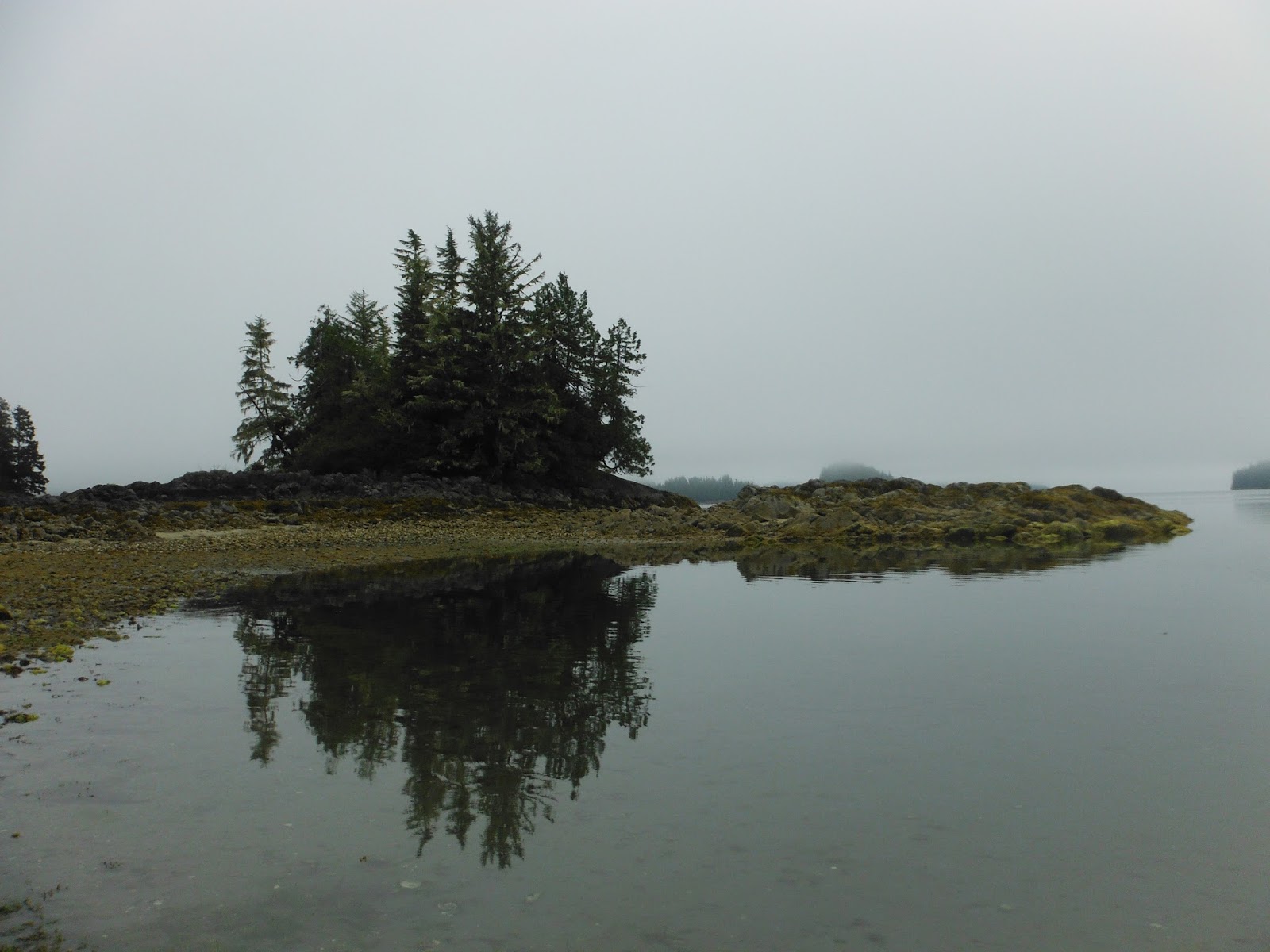
Our good fortune stayed with us even on the day that a storm rolled through. We arrived at one of the cabins before the storm unleashed its fury and watched it with a roof over our heads and a fire burning in the woodstove.
 |
| Storm blowing in on Lanezi Lake |
The Bowron Lakes circuit begins with a portage. It was our toughest because we didn't position the wheels and distribute the weight well. Struggling to push/pull the boat up an incline made us fast learners in the art of portaging.
 |
| Wheels ready for the portage |
 |
| First day scene |
Our first day included easy, relaxing paddles of Kibbee and Indianpoint Lake and three less than relaxing portages. We got a break from portages on day 2, starting from our campsite at the beginning of 38 kilometer long Isaac Lake.
 |
| Day 2 morning, beginning of huge Isaac Lake |
 |
| Old cabin at day 2 campsite on Isaac Lake |
 |
| Lush vegetation and waterfall along Isaac Lake, day 3 |
On the morning of day 4 we had to decide if we were going to negotiate the whitewater and sharp corner of the "Chute" or do a longer portage. We decided to run the Chute. At the informational meeting prior to beginning the Bowron circuit there was a lot of discussion about whether to run the Chute or not run the Chute. We had no difficulty getting through it. I'm sure Roger's paddling skills had something to do with that.
 |
| McLeary Lake, day 4 , site of 1st moose sighting (not pictured) |
After McLeary Lake came more excitement - paddling the Cariboo River and evading deadheads and sweepers. Reports indicated that this is the section where people most often need rescue and wrecked canoes can be seen along shore. A higher or lower water level might have been more challenging but the day we ran the Cariboo it was just fun and easy. I had no reason to be apprehensive.
 |
| Cariboo River |
The Cariboo River flows into Lanezi Lake. Some canoeists had warned us about a storm forecast for the afternoon so we paddled steadily to the Lanezi cabin. We pitched our tent and then went inside the cabin and listened to the tales of later arrivals who didn't beat the storm.
 |
| Lanezi Lake after the storm |
The next day we leisurely paddled through Sandy Lake and then took a detour into Unna Lake. From the trailhead at end of Unna Lake we hiked to Cariboo Falls. The falls were thunderous with voluminous spray.
 |
| On the trail to Cariboo Falls |
We continued on to Babcock Lake where we camped for the night. Babcock is a small, shallow lake warm enough to entice me to go swimming. Later Roger and I sat on the beach and watched a moose feed across the lake. I was surprised that at times the moose was almost totally submerged in the water, with just the top of her back showing.
 |
| Morning fog at Babcock Lake, day 5 |
There was a sign warning of a bear in the area at the beginning of the short portage between Babcock and tiny Skoi Lake. There is another short, easy portage between Skoi Lake and the larger Spectacle Lake. When we completed the second portage I turned around and saw a black bear standing in the trail about 25 yards from us. He must have been just off the trail as we passed through and we didn't even see him!
 |
| Our lunch stop on Spectacle Lake |
On our last night we stayed at a campsite just off the beginning of the Bowron River. It was also the beginning of a large swampy area so we were most bugged by mosquitoes at this site. Nevertheless, the first two campsites we stopped at were full so we were glad to find it unoccupied. This was the only day we had some difficulty finding an available campsite.
 |
| View from last campsite |
On our sixth and final day we meandered around the Bowron Slough for a while, hoping to see moose and not anxious for the journey to end. We did see a moose but it was on the main channel of the Bowron River rather than one of its offshoots.
 |
| Canoes turning a corner on the Bowron River with a moose just ahead |
 |
| Moose swimming in the Bowron River |
When we entered Bowron Lake we encountered the roughest water we had on the circuit. The wind settled down by the time we finished so conditions were back to "normal" for our trip. Back to perfect.
 |
Roger looking back at Bowron Lake.
(Bowron Lake is the only lake on the circuit where motorized boats are allowed.) |
What a time. What a place.